Skip to main content
Mobile Menu
Historic District & Historical Society
Buildings by Address
Walking Tours
Interactive Map
Genealogy
Gallery
About Us
Contact Us
VISITORS
YOUTH
HISTORIC DISTRICT
HOME OWNERS & BUYERS
Original Website
Main navigation
Buildings by Address
Genealogy
Historic District & Historical Society
Gallery
Interactive Map
Historic District Walking Tours
Experience the "Village"
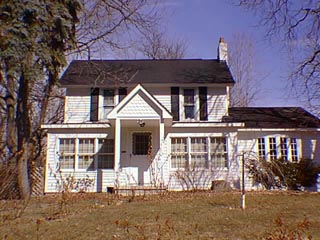
21 Clarkston Rd.
Clarkston Road
Interactive Map
Explore the "Village" with our interactive map
Downtown Clarkston Historical Walk
learn more