Skip to main content
Mobile Menu
Historic District & Historical Society
Buildings by Address
Walking Tours
Interactive Map
Genealogy
Gallery
About Us
Contact Us
VISITORS
YOUTH
HISTORIC DISTRICT
HOME OWNERS & BUYERS
Original Website
Main navigation
Buildings by Address
Genealogy
Historic District & Historical Society
Gallery
Interactive Map
Historic District Walking Tours
Experience the "Village"
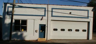
3 Church St.
East Church Street
Walking Tour
>>
Interactive Map
Explore the "Village" with our interactive map
Downtown Clarkston Historical Walk
learn more